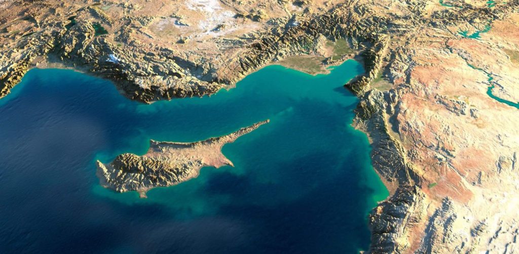
Cyprus is the third largest island in the Mediterranean Sea, and Northern Cyprus lies directly 70 km south of the Turkish mainland. Its neighbours include Egypt, Lebanon, Syria, Israel and Greece. The Turkish Republic of North Cyprus makes up around one third of the island of Cyprus, and The Republic of Cyprus occupies the remaining two thirds to the south of the island. The total area of the entire island is approximately 9,252 sq km, and North Cyprus covers a total area of around 3,515 sq km.
Because of the island’s location at the maritime crossroads of the eastern Mediterranean basin and its proximity to the Middle East, Cyprus has always been an island of strategic importance, and throughout its 10,000 year known history the island has either profited or suffered depending on which external power bloc controlled it at the time.
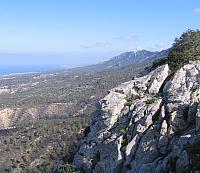
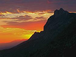
The 100 mile long Kyrenia or Girne mountain range, which runs almost parallel to the Northern coastline in North Cyprus, is actually the southernmost mountain range of the Alpine-Himalaya chain in the Eastern Mediterranean. The mountains are formed from great masses of limestone and they tower over Northern Cyprus and provide the most  incredible backdrop to the rest of the island. More commonly referred to as The Beşparmak (Five Finger) Mountains, they are also home to Northern Cyprus’ famous trio of castles, Kantara (the romantic one), St. Hilarion (the fairy tale one) and Buffavento (the best kept secret).
South of this mountain range, and across which you will drive if you travel from Ercan airport to Girne(Kyrenia) for example, is the Mesaoria plain. It actually stretches the whole of length of the middle of North Cyprus – from Güzelyurt to Famagusta, with Lefkoşa (Nicosia) sat slap bang in the middle.
Northern Cyprus’ coastline is extremely varied, with stretches of long sandy beaches mainly in the Karpaz region to the east, whilst to the west there are rocky coastal formations with coves and sandy inlets. There are also two capes, which are strips of land projecting into a body of water, and two gulfs, which are arms of a sea or ocean partly enclosed by land and generally larger than a bay. The capes in North Cyprus are Zafer Cape at the end of the Karpaz peninsula to the east, and Korucam Cape to the west, and the two gulfs are at Famagusta in the east and Guzelyurt to the west.
If you would like to find out more about the geological aspects of Cyprus, including its evolution, information on its natural resources such as acquifers, mineral resources and more then visit this great site Cyprus Geology, which has been put together with the help of Inter-College in Nicosia and supported by the Bi-communal Development Programme which is funded by USAID (US Aid) and UNDP (United Nations Development Programme) and executed by UNOPS (United Nations Office for Project Services).


